O
S
C
A
L
Loading

01 Opening Statement
Solutions / GIS Solutions / GIS Solutions
ConnectingIndustrial Assets with Spatial Intelligence
OSCAL International supports the oil & gas sector in Egypt and the Middle East through procurement and industrial supply services, with a focus on understanding client requirements and connecting them with suitable solutions.
From pipeline networks and industrial facilities to geographically distributed operational sites, spatial data solutions can provide valuable context for informed planning and decision-making.
02 The Industrial Challenge
Define the requirement before selecting the solution.
OSCAL International approaches client requirements through a coordinated process
 Study
 Search
 Evaluate
 Support
03 / Engineering & Integration
Where individual components become a system.
Equipment, instrumentation, electrical systems, controls and software may all need to interact within the same operational environment. Engineering and integration bring these elements together.
Depending on scope, OSCAL's involvement can extend across technical studies, equipment selection, system integration, control architecture, instrumentation, testing and implementation support.
04 Capabilities
A connected scope for this solution.
GIS can help address these challenges by organizing location-based information into a clearer visual framework, supporting the interpretation of spatial relationships and helping teams work with a more structured view of their operational environment.
01 / 03
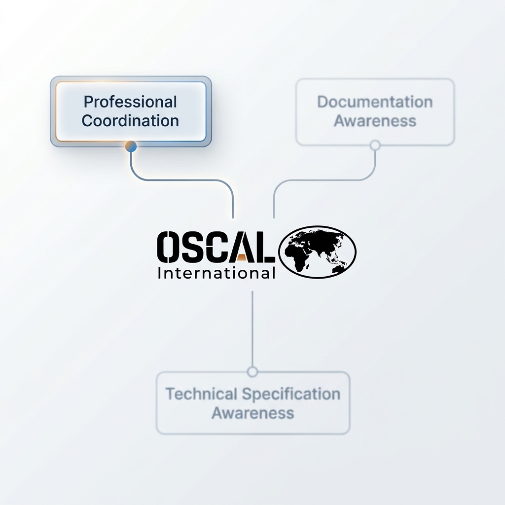
Coordination
We emphasize clear communication and organized coordination to help connect client requirements with suitable GIS solution options and maintain alignment throughout the process.
Explore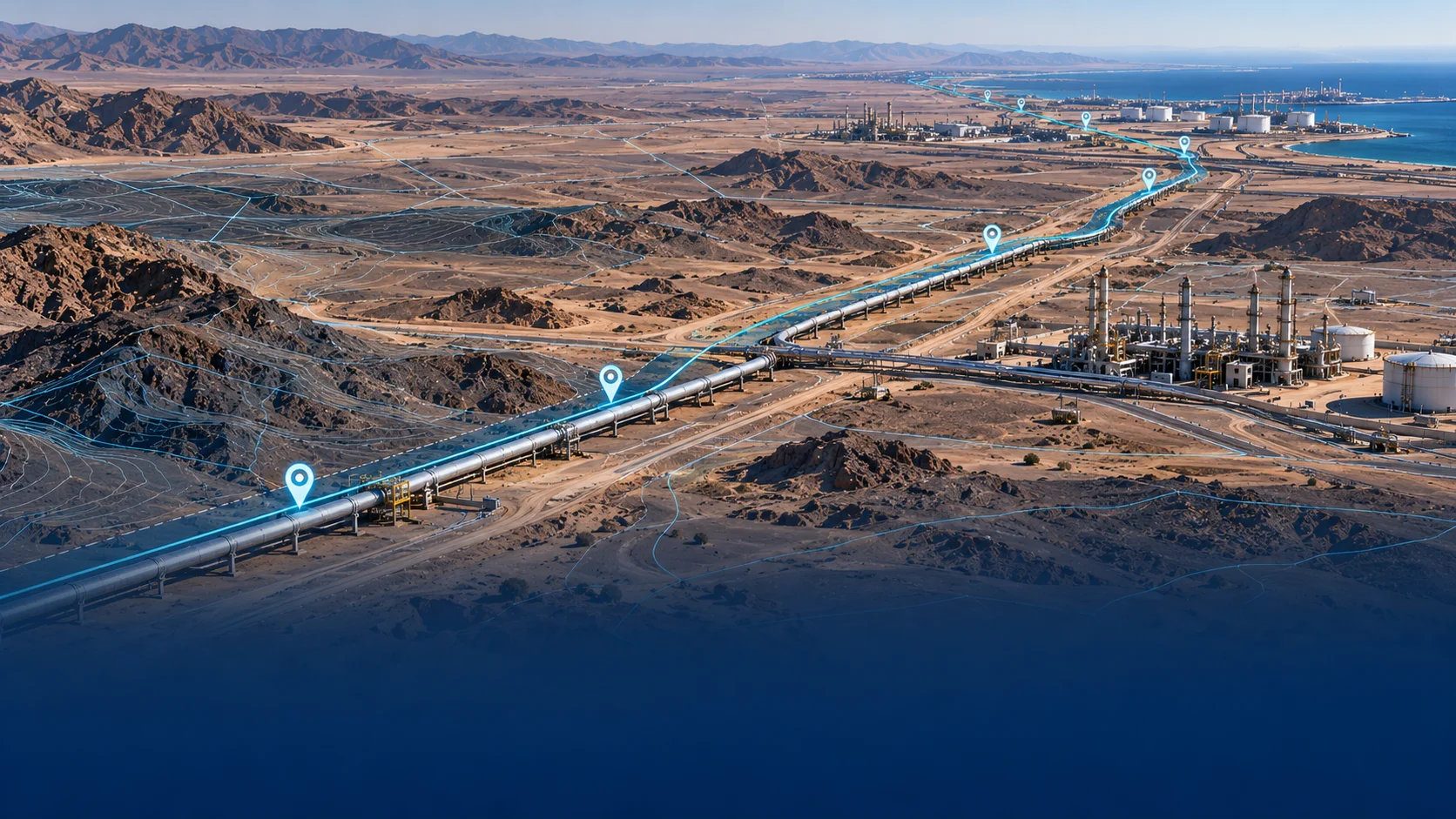
05 Applications
Illustrative applications.
Pipeline Network Mapping
GIS can support the visualization of pipeline routes, associated facilities, geographically referenced assets, and relevant infrastructure information. A structured spatial view can help teams understand asset distribution and location relationships.
The actual scope of mapping, data collection, system integration, and deliverables depends on project requirements and the agreed solution.
06 Next Step
What requirements are available?
Share the application description, drawings and technical inputs for scope review.
About Us